Digital Navigators Services
GIS Training
GIS is just a tool. It’s how you incorporate that tool within a kaupapa Māori framework which makes our training unique and beneficial to whānau, hapū and iwi.

Digital Navigators
Gis mapping consultants
Te Ipu Arataki i te Taiao.
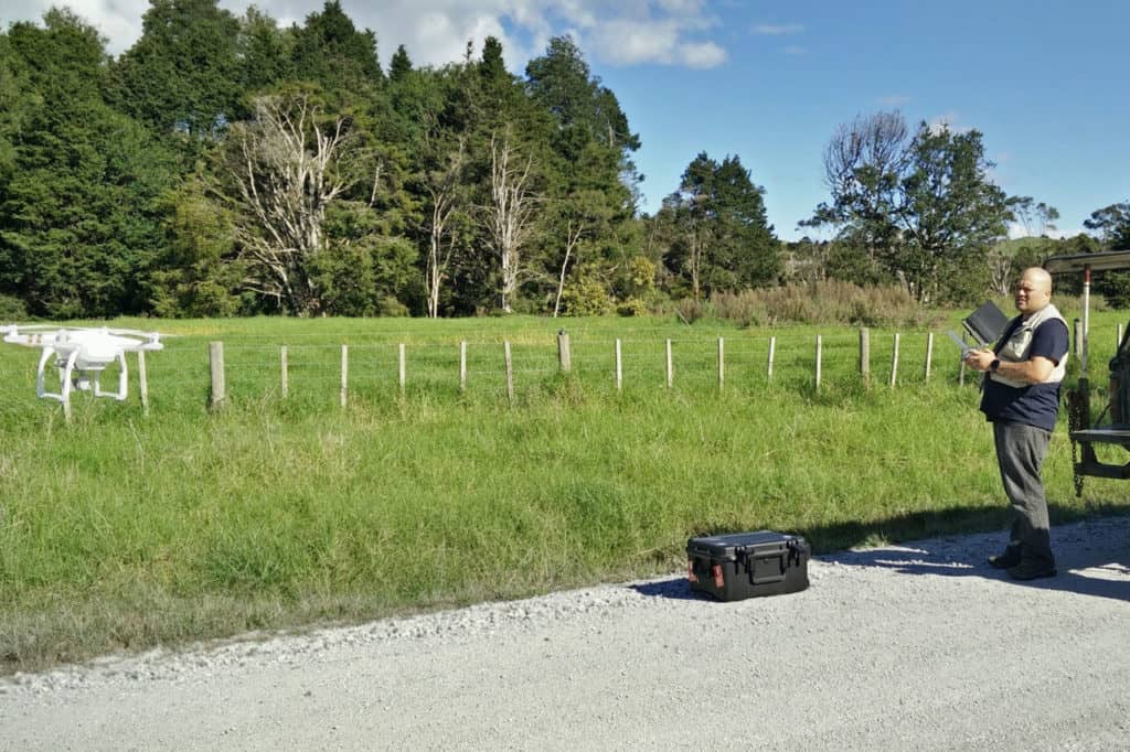
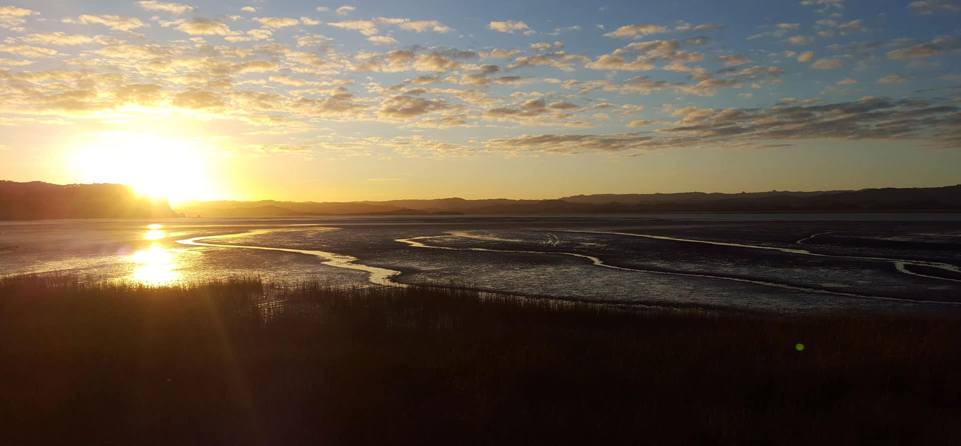
Analysing geospatial information and integrating a holistic Māori worldview to help whānau, hapu and iwi tell the stories of their people and their connection to the land and sea.


